The Marais Poitevin Park in figures
In total, the Marais Poitevin covers 204,822 hectares of land and is the largest wetland area on the Atlantic coast, covering 107,256 hectares. It is composed of three different landscapes: the coastline, the dry marsh and the wet marsh. In total, the Poitevin marshland includes 35,200 hectares of natural meadows, 8,200 km of waterways, 150 km of coastline, 337 species of birds, 750 plants, 850 km of bicycle paths and attracts 1.4 million visitors each year.
An exceptional territory to preserve
The Marais Poitevin is one of the largest marshes in Europe, located between land and sea, at the meeting point of two regions of the Atlantic coast, the Loire countries and the new Aquitaine. The Marais Poitevin, a remarkable territory for its fauna, flora, cultural heritage and landscape, was labeled Regional Nature Park in 2014. This ensemble of great ecological wealth is thus recognized at the national level. But its natural heritage remains subject to significant pressures related to human activity: we must preserve this territory with its fragile balance.
The Marais Poitevin straddles several departments. It extends from the south of the Vendée to the north of the Charente-Maritime and from the west of the Deux-Sèvres to the Atlantic coast. It includes 92 municipalities for about 280 000 inhabitants.
The wetland
In the 1980s and 1990s, the intensification of agriculture marked the history of the wetland by the decline of grazing livestock in favor of cultivation, the generalization of soil drainage and development of irrigation on the outskirts of the Marsh (plains of Niort West, Aunis and South Vendée).
In 1997, the non-renewal of the classification of the territory as a Regional Nature Park (from 1979 to 1996) sanctioned this evolution of land use and the deterioration of the natural heritage that resulted from it.
Local actors have mobilized around the preservation and balanced development of the marsh, which allowed, in 2014, the reclaiming of the Regional Nature Park label.
The importance of wetlands
Fragile, the wetlands constitute territories of an exceptional wealth.
They fulfill multiple and important ecological functions among the most productive environments on the planet. Wetlands act as filters or sponges to regulate and purify water. They are home to a remarkable biodiversity; rich in nutrients, they are real "fishponds" feeding a profusion of plants and animals.
Wetlands also benefit mankind in many ways: economic (agriculture, fish farming, shellfish farming, tourism, research...), socio-cultural (maintenance of landscapes and activities witnessing a history and an identity).
The surface area of wetlands represents less than 5% of the French territory. In less than 30 years, 85% of the French wetlands of major importance have undergone significant transformations, some of which have been greatly degraded.
The territory
The Marais Poitevin is a human construction. In its place, 10,000 years ago, the Gulf of the Pictons was a large marine gulf. The gigantic human work transformed the places to give birth to very varied landscapes.
Since the 12th century, by means of titanic developments, a total of more than 100,000 hectares have been transformed from an inhospitable marshland into a land of life, an exceptional site on a European scale.
The development work first began on the part of the Marais Poitevin near the sea. They are the result of strong development policies initiated by the abbeys at the end of the 10th century, in order to exploit the land more easily. It was then a question of protecting the marsh, based below sea level, by the construction of dykes, surrounding vast zones, and the digging of canals.
But the objective was also to block the fresh water inland (important in rainy periods) by building other dykes and channels allowing this water to flow to the ocean and thus reduce flooding. This is how the dry marshes were created.
The wet marsh or green Venice, the parts far from the sea will remain "wild" until the end of the 18th century.
The relationship with water has thus defined the development of agricultural spaces, traditional buildings and villages to shape the landscapes we know today.
The coastline
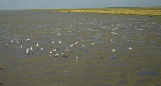
The coastline of 9,700 hectares is subject to the influence of the tides. It is composed of old salt meadows (mizottes), mud flats and sand dunes.
A true migratory crossroads of international importance, the coastline welcomes every year thousands of birds coming from the North and going to the Iberian and African coasts.
At each low tide, large areas of mud are uncovered where birds come to feed. At high tide, and when the tidal coefficients are important, the ocean comes to caress the dike of sea front which protects the dried marsh. The grassy areas installed on the high part of the mudflat (the salt meadows) are then covered by the ocean, rarely grazed, hay is harvested there.
The wet marshes
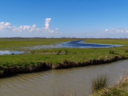
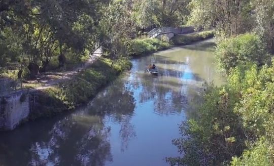
The wet marshes, with a surface area of 32,200 hectares, are areas that can be flooded by floods or by waterlogging during rainy periods.
They correspond to the major floodable beds of the Vendée, the Sèvre Niortaise, the Lay and the Curé, to which is added a dense and complex network of conches, ditches and gullies and constitute the floodable part of the Marais Poitevin.
One finds several landscapes there: the wet marsh bocage, the terrées, the communal marshes, the peat bogs, the holes of bri.
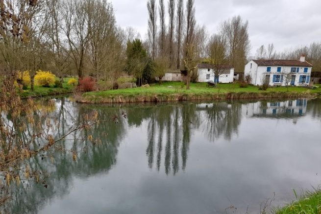
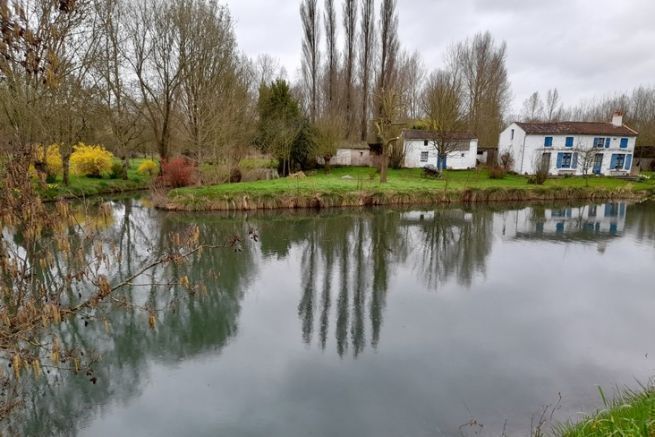
The marsh is an aquatic labyrinth, a vast expanse of greenery made up of meadows framed by trees planted in rows; pollarded ashes and poplars punctuating the banks of the waterways. Hundreds of kilometers of ditches, conches and canals have been built to allow a faster flow of water and this hydraulic network was once used as a communication route.
The landscape of the wet marsh has been recognized by the State as exceptional. Since 2003, it is protected by decree as a classified site and since 2010, it benefits from the label Grand Site de France for its sustainable management.
The dried out marshes
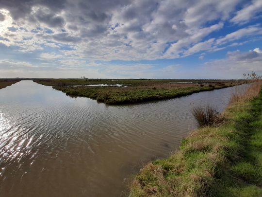
Vast expanses of 46,800 hectares, these areas are protected from flooding and tides by a network of levees and dykes that offer large expanses of greenery dotted with former salt marshes.
The dry marshes present wide open landscapes where trees are rare, only a few tamarisk and thorn bushes line the ditches and canals that surround the meadows and crops.
In the past, the breeding of the horse of Trait Poitevin Mulassier and the Baudet du Poitou was practiced there. Nowadays, the dried marshes are renowned for the quality of the wheat grown.
Emerging from the cultures and meadows of the dried marshes, the limestone islands constitute high points that have resisted erosion. Their edges can be steep or gently sloping. These mounds were occupied very early by man who took advantage of these retreat areas when fishing and hunting in the Gulf of the Pictons.
Wildlife
The Marais Poitevin is a set of exceptional environments. The coastline is a stopover for migrants and the coastline is a refuge. All the conditions are gathered to attract a varied fauna.
There are about fifty species of aquatic and terrestrial mammals, including the European otter and bats.
337 species of birds share the wetland and the edge plain according to breeding and migration.
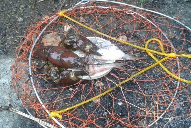
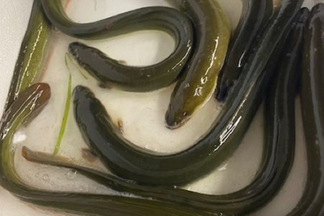
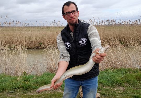
34 species of fish that cohabit the waters of the marsh. Some of them migrate between the salt water of the Atlantic and the fresh water.
Numerous insects of which the best known are the dragonflies (53 species) and butterflies (63 species).
The flora
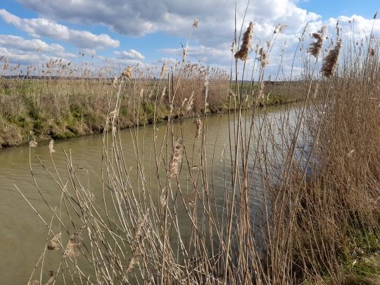
The diversity of plant species and the presence of rare and protected species characterize the ecosystem of the Marais Poitevin.
A total of 126 species have a heritage character and are protected at the European, national or regional level, or are included in national or regional red lists.
A living territory
Today, reconciling ecology and economy, tourism in the Marais Poitevin is an exponential success, in time and space, with a large number of visitors (1.4 million visitors/year).
With nearly 1,500 farms, agriculture is focused on livestock (cattle, horses) and cereal crops (wheat, rapeseed, corn, sunflower). In the Bay of Aiguillon, mussel farming is one of the main activities of the inhabitants, representing 15% of the national mussel production.
Supported by the Regional Nature Park and its partners, other sectors are developing: short circuits (livestock, local food products, market gardening, arts and crafts, eco-housing, etc.), preservation, development and sustainable use of the environment.
A traditional know-how
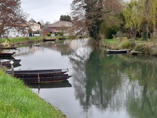
In addition to their traditional know-how in housing, the maraîchins have developed that of boat builders. For a long time the only means of transportation for men and goods in the Marais Poitevin, the "batai", a traditional boat that was pushed with a "shovel" or a "pigouille", is the ancestor of the boats that take us along the waterways of the region.
Over successive generations of market gardeners, all sorts of techniques and fishing gear (vermée, scales...) have been invented to ensure their livelihood.

 /
/ 