Use color coding and different symbols
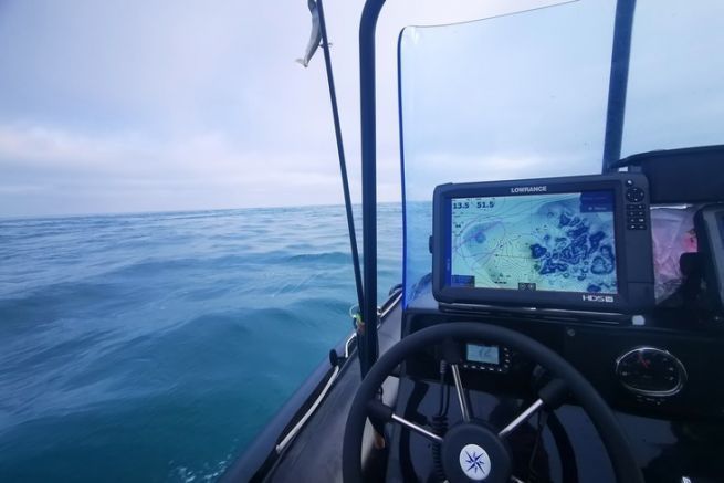
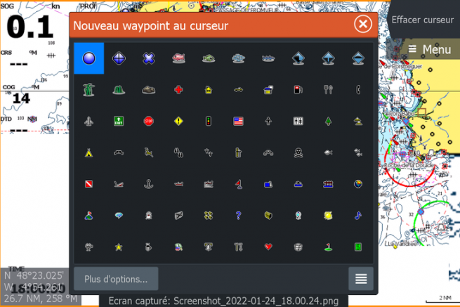
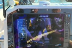
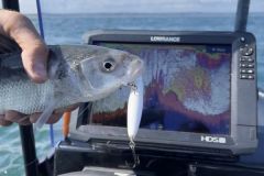
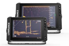
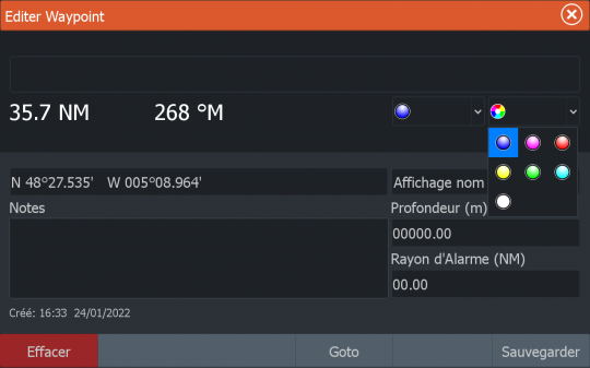
All waypoints stored in my GPS-sounder handset are color-coded and iconized to help me find them.
Knowing the location of a fishing area is not enough, it is also necessary to take into consideration the time of tide and a fortiori the current in the area as well as the seasonality. For example, some spots are active at high tide, but if you go there a few hours later, you will not find a fish.
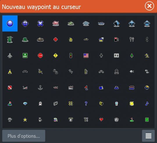
To do this, a simple color code can be used. Personally, the spots on which I know that the fish are active during the rising tide are marked in red and for the spots where the fish are active at ebb tide, I mark them in blue. This allows me to know in an instant if I am on the right zone according to the tide schedule.
Naming waypoints
A waypoint without additional information is of little use. For each record, I associate the time of tide at which it was created, taking as reference the nearest high tide (HW) or low tide (LW) and the species caught.
Example:
It is 10:00 am, the high tide was at 9:00 am. I just found an area with active yellow spot. I create a waypoint that I name : LOCATION PM +1 by associating the color red to it, because we are on the rising tide.
Mark drifts
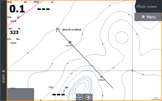
In addition to marking a specific area, it's interesting to mark a drift that takes you through an extremely precise spot, between two rock heads for example. In this type of configuration, precise positioning of the boat is essential to fishing the area.
To do this and to find my way around, I note the beginning and the end of the drift. This way, I am sure to always drift as it should be.
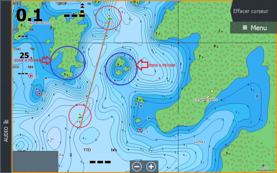
In addition to this, there is a safety factor. When fishing on the edge, close to the rocks, you don't have the right to make a mistake when positioning the boat, otherwise you will end up dry. Thus, I am sure to follow the right route and not to risk crossing an unmarked rock.

 /
/ 