The sounder, an indispensable tool
The fishfinder is a tool that has become virtually indispensable for all sport fishermen at sea. Technology is constantly evolving, and today it's a genuine prospecting tool.
Personally, I use it a lot to locate schools of forage fish, but also predatory fish, and not only. I also use it to determine the nature of the bottom, i.e. whether I'm on sand, rock or kelp, in order to adapt my fishing.
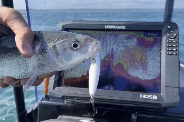
Once again this year, the Lowrance HDS fishfinders were a great help. I'd like to share with you some of this year's best catches, with explanations.
An impressive shoal of sea bass
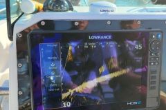
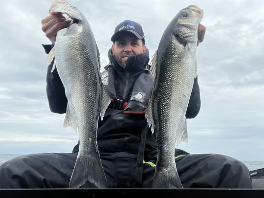
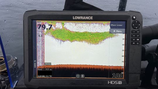
This screenshot shows a very active school of sea bass. It is visible over almost the entire water depth, with echoes present up to 2 or 3 m below the surface.
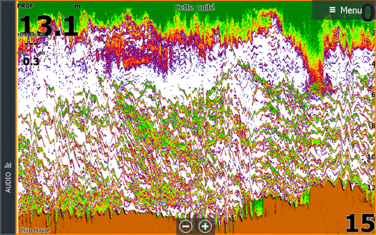
This kind of detection is characteristic of sea bass. The echoes scattered in the water column and in the shape of an arc show very active fish. To confirm this, all we needed was a few casts!
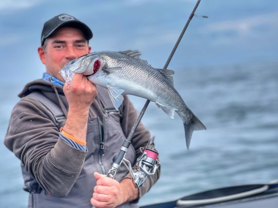
Here, you'll have the opportunity to fish with a soft lure, either in line or in pull. The use of a surface lure will surely seduce the most beautiful fish on the bank.
The benefits of structure scan!
This capture is interesting because it allows us to identify a school of sea bass in three different ways.
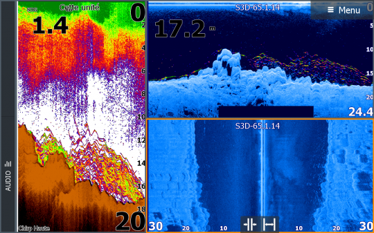
On the left, the 2D view shows a shoal of sea bass behind a drop-off, rising from 10 to 18 meters. The shoal is relatively compact and close to the bottom. Drift speed is not very high. In this situation, I use a relatively gliding lure, not overly loaded with lead: a Black Minnow 140 mounted on a 20 g head or the 160 mm size mounted on a 30 gram head.
The top right view is that of the scan with the Fish Reveal option. It is similar to the 2D image. This new view combines 2D data with Downscan data and superimposes them to make 2D echoes visible on the Downscan view. It also reveals echoes that were invisible in 2D, due to current interference in certain areas.
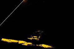
Finally, the bottom right view, the one we're most interested in here, is called Structure Scan. Here, it is set to a width of 30 meters on each side of the boat. Interestingly, the sea bass shoal is located on the right-hand side of the boat. It's easy to spot by identifying the clear echoes above the bottom. On the left, there are no echoes.
This allows anglers to know which side the fish are on and to cast in that direction.
A large school of bluefin tuna
When you're fishing for tuna on the hunt, you might think that a fishfinder is of no use, since the search is visual. Wrong!
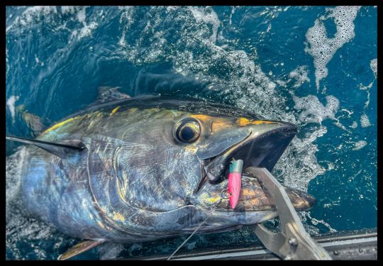
Not only does it detect the presence of forage fish, helping to locate food-rich areas likely to attract bluefin tuna. But in other cases, like this one, it can also detect the presence of tuna when they are not hunting on the surface.
Here you can see a very thick school of tuna. This information is invaluable. At any moment, they are likely to come to the surface to hunt. It took less than 30 minutes for a large-scale hunt to get underway, allowing us to hook several bluefin tuna.
Lees on a deep wreck
Pollock fishing has become highly regulated, with a closed season to preserve the species' biological rest, and a daily quota.
I made very few offshore trips in search of leeus last season, but one of them leaves me with an excellent memory. That day, a well-known wreck was home to an impressive number of fish, visible in the sonar capture below.
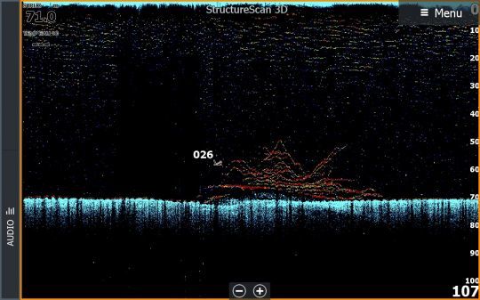
It's a wreck lying at a depth of 70 meters, with a school of active spots visible thanks to Lowrance's Fish Reveal function. The fish are very detached from the wreck and the bows are clearly visible. This is characteristic of the presence of active fish.
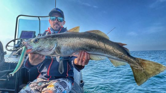
That day, the fish were very large, with specimens approaching 85 to 90 centimetres.

 /
/ 