At sea
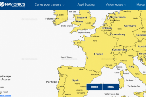
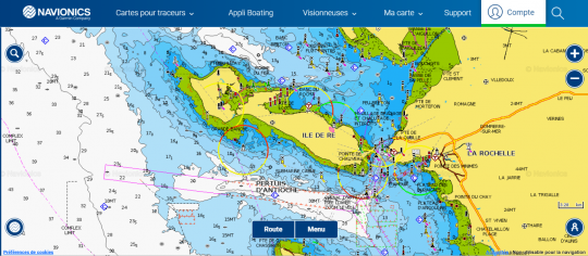
If you've never taken a look at Navionics Chart Viewer before, you're in for a surprise, because the world's seabed and ocean map is available free of charge. Of course, this map isn't extremely accurate everywhere, but it gives us some good indications that we can observe from our sofa. The entire Mediterranean rim and the Atlantic coast are mapped, so you can find fishing grounds without being on the water.
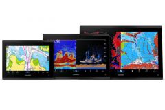
There's a paid version on the app, which also lets you know the nature of the seabed and can pair your phone with your sounder to create routes, Gps points and more. This application also gives you access to the seabed in an area for which you haven't purchased Navionics mapping for your sounder. This can be a very useful tool, for example, when you need information before a trip.
In freshwater
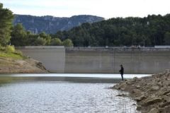
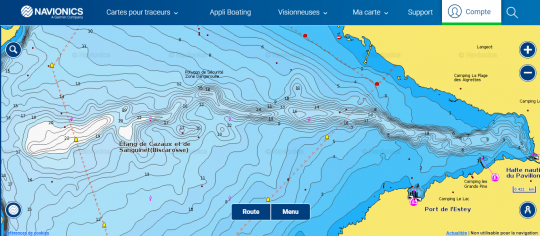
Unfortunately, freshwater is much less well mapped, as the vast majority of bodies of water are either too small or prohibited to navigation and therefore cannot be mapped. On the other hand, the best-known lakes, such as Léman, Salagou, Serre-ponçon and the great lakes of the South-West, are available. Major rivers are not mapped, but signs and navigation channels are noted, which can help you navigate safely.
Beware, whether in the sea or in freshwater, some maps may be quite old and their accuracy may not be perfect, but they do give an overall idea of the layout of the seabed.
A very useful asset
If you fish from shore and have never explored an area by boat with a fishfinder, you may have no idea what the bottom looks like. There are, of course, small hand-held fishfinders that you can throw around, but their price is high and their range very limited. Navionics Chart Viewer is very useful, free of charge and will give you access to the bottom map of your fishing spot in a matter of seconds.
This means you can scout ahead of time, analyze areas that have worked after a trip, and even make decisions while fishing. Fishfinder owners can also access the same cartography without having to turn on the fishfinder at home. The application is also a backup solution on the boat if your sounder breaks down or you don't have one.

 /
/ 